Tuesday, August 19, 2014

STAGE - Desktop Tools (also) for Geopaparazzi

With the new upcoming geopaparazzi 4 release a few issues had to be solved:
  1. What should I do with all my old geopaparazzi 3 surveys? How do I integrate them with new data?
  2. What do I use to export data from a geopaparazzi 4 project to my GIS environment?
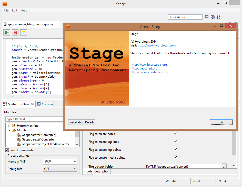
Well, we solved both the above problems inside STAGE, a Spatial Toolbox And Geoscripting Ennvironment, which is the tool we develop and use for the JGrasstools library for environmental modelling.

For those asking if it is the same Spatial Toolbox that comes with uDig, the answer is yes and no. Yes, because it is the same source code. And no, because since uDig is in the process of (and a bit stuck in) migrating through the Locationtech incubation, we needed to step forward with the geotools versions. So see STAGE as the temporary solution to work with the Spatial Toolbox, until we can enhance the uDig version again.


So where do I get STAGE and how do I use it for Geopaparazzi? A video tutorial showing it all can be found here:


Enjoy!


ADDENDUM: since it has been asked, this is the link to the current download area of STAGE: http://git.io/stage_releases


Tuesday, August 12, 2014

The New York Natural Heritage Program embraces GeoPaparazzi! (a small preview of Geopaparazzi 4.0)

I am really excited to say that the Research Foundation for State University of New York really did embrace Geopaparazzi for some of their projects and sponsored a nice piece of functionality:

EDITING OF POLYGONS IN A SPATIALITE DATABASE!

This is a functionality that has been in the wishlist of many Geopaparazzi users and thanks to Tim Howard and his group, it is going to happen really soon.

I also hope to get them to write us a nice post about their use of Geopaparazzi in the field of mapping invasive species.

Since these new functionalities were calling for a geopaparazzi 4.0 release, it was about time to also do one other long wished (at least by me) change: make the Geopaparazzi project single file based, in order to be self-contained and compact.

I won't keep this post really long right now, it is more about letting you know what we are up to next and also thank the Foundation for State University of New York for the sponsorship.

To explain a bit the two main changes that will be in Geopaparazzi 4, a small preview of it in two quick and simple videos.

The first one focuses on the new project structure, which has changed from a folder structure to a single sqlite file:


The second one shows how to use the spatialite polygon creation and editing tools:


We are currently in testing phase and some small things may change, but this is more or less what it will look like.

Geopaparazzi 4 is going to be exciting, I am looking forward to it!
Enjoy!!


PS: There are two major downsides to this migration:
  • we will need a conversion tool to transform old Geopaparazzi projects into the new, single file based, project format. I have a huge archive of hiking and travelling projects I can't loose... they are kind of my diary.
  • the OSM tools were currently lost in the process, since the database notes structure has changed
We are currently out of resources to solve this right away, but we will do our best.