The tool is funny and easy to use. My battery lasted the morning and then was finished. But I guess that is ok, since it had to log the gps and took many pictures and many notes.
Alright, before I have no time to do it, I want to show the use as companion of BeeGIS.
So I connect my HTC Dream via USB to my Ubuntu box. The phone asks me if I want to mount it as disk. I say yes and I get the following:
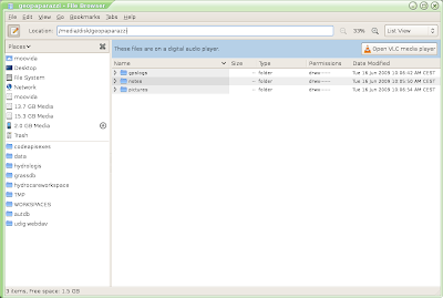
Note that GeoPaparazzi creates a folder geopaparazzi at the root of your sdcard.
Ok, then I start up BeeGIS and enter the File->Import dialog and find the Import GeoPaparazzi Data Folder item:
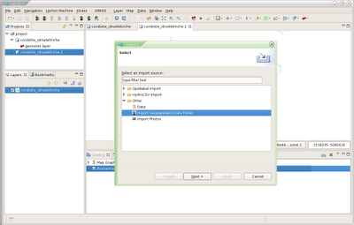
The next asks me for the geopaprazzi root folder and the processed items folder:
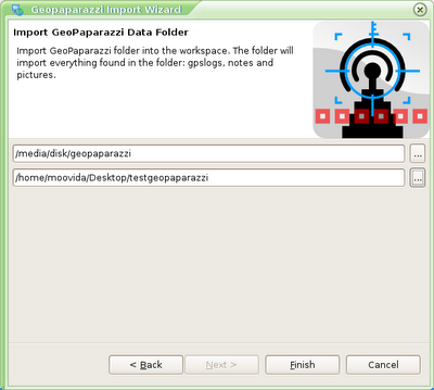
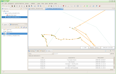
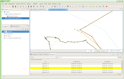
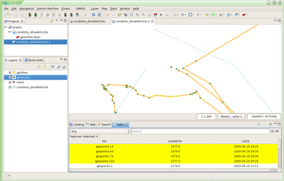
Once pushed finish, everything found inside the data folder will be imported as follows. I will explain how later. Images import is still not there, since I have some parts to fix first. Therefore the import will bring notes into a shapfile and the gpslog into both a lines shapefile and a points shapefile:
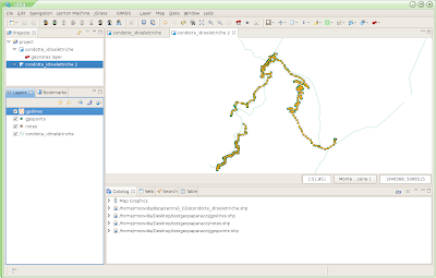
The NOTES shapefile is created with a TIMESTAMP and DESCRIPTION field:
The GPSLOG LINES shapefile is created with a STARTDATE and ENDDATE field:
And finally the GPSLOG POINTS shapefile is created with an ALTIMETRY and DATE field:
That's it for now, coming back soon with the orientated pictures part.
3 comments:
How is development of GeoPaparazzi going? It would be reallt nice to try a substitute for arcpad when collecting data in field!
Jonas
Hi Jonas, I have no idea why I didn't get your comment. Noticed it only now. No idea if you still need it, but many improvements have been done on Geopaparazzi. I will soon have the time to release it. I just need to review the bridge with BeeGIS, since now geopaparazzi creates a sqlite database for all the data.
Hi
It would be interesting to try it out. Android is perhaps the mobile way to go.
Jonas
Post a Comment