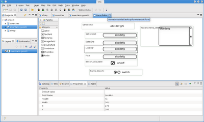
Well, what would a form editor be? A tool to create forms to make surveying easier and also more standard. Once a form is defined for a certain shapefile, attributes of the features in the file can be modified in the same way by everyone through the form. I do not want to describe further here, that will be a task for the manual writers.
Let's see where we are now.
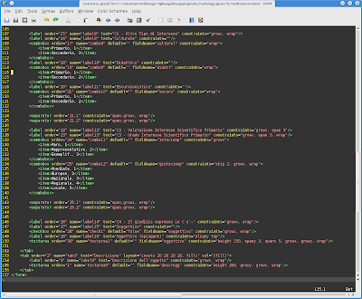
The "form language" has been defined on an xml base, so a file that looks like that
will produce a graphcial interface for feature editing like this one
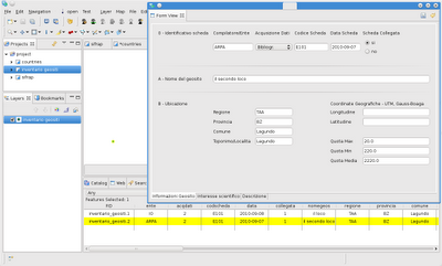
This is a quite complex one and has more then one tab
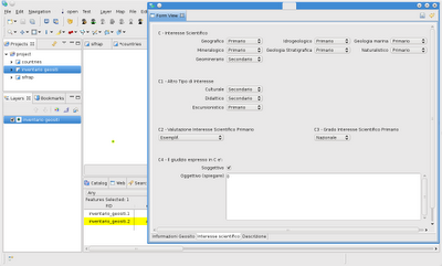
Comboboxes can be described in a human readable way, while they modify the attributes with codes:
Well, yes, who would write such an xml to get a complex form? How long would it take. It took me about 2 hours to create the one I am showing here, but do not despair, we won't let users alone.
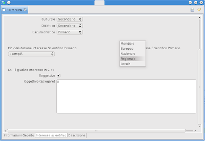
In fact there is also a form editor in progress that will make the generation of form files easy.
I will make the huge error to show you what it will more or less look like, but I also warn you that this is just a first draft prototype, things might change at least a bit.
