Showing posts with label gps. Show all posts

Monday, November 30, 2020

SMASH 1.6.1 is out geo-tiffs and -fences

Today we released SMASH 1.6.1 to the stores.

The main reason we are doing this is because there was a startup bug that was freezing SMASH, mostly on Xiaomi devices. If you experienced something like this: https://github.com/moovida/smash/issues/81

...well, update and it will be gone. 


That said, we also have some significant additions:

Geotiff support

Up to now we had tiff support needing world files and projection file to be present. Now geotiff tag reading is supported, so "real" geotiffs can be read. This is quite handy, since the image file gets back to be a single one again. Same as for other imagery types it supports overall transparency and single color removal, which allows for some nice technical map overlays (for example):

Geo-fences

Since were we live the COVID lockdown imposed people to only walk a certain distance from home, we decided to lend a helping hand. You now can add fences and make them ring when you enter or exit the radius. 

 The fence option is available from the bottom toolbar:

Once you hit it, it inserts a new fence in the current map center:

Defining the fence with no sound will result in a grey colored fence to show that it is "inactive":

To modify an existing fence, just place the map center inside its circle and then long tap the fence button. The fence dialog will appear again, this time with an additional possibility to remove the fence.

Now that the fence is active (on enter and exit sound set), the color is red and there are two borders. The green one reminds that on entering there will be a sound, and the blue one that on exit there will be a sound.


Just so you know, fences are not saved into the project, but only in the application preferences. This means that on uninstall or app cache removal..  they will disappear.

Log lines themes

While this is possibly my favorite feature of this release, I have written about it in my last post here, so just check there for descriptions and images.

Other small features

Magnet icon for center on gps: if you are in automatic center on gps mode (double tap on gps icon), it will be visible through a small magnet:


Location permission at startup now allows to access the settings to activate directly background gps usage even when the app is not in use. 

Note sharing now also contains the complete OSM url (not sure how that could have been missing up to now):

Project browsing has been made more readable. Not sure how about you, but in my case I just create a new project and using the default proposed name, I simply add something meaningful at the end of it, after an underscore. This allows me to order my projects alphabetically also by timestamp. The problem is that when I want to load an older project, I find myself in this:

The smash_timestamp take the whole line and makes everything unreadable. So now you can activate the upper right filter and the timestamp will be removed from the name and added as additional info ( day and time if available):


I guess that is it for this release. Enjoy!


Tuesday, November 10, 2020

A better view on GPS logs in SMASH

It is a while now that I am collecting gps logs done by car and bike to get a better idea on how to "correct" a bit jumping points. This is how the Kalman filter was added to the GPS points pipeline as additional information of choice (not always you want the corrected information).

As usual, when working on stuff, you need to get a better view over things, which usually means also to get a qualitative idea of what is going on. This is how we got to gradient coloring of the gps lines.

The result is actually quite cool and gives a good insight of what happened and when. So we decided that this will enter the next release of SMASH.

How does it work?

The GPS log properties panel now has an additional combobox that permits the selection of a color palette for a particular information.


If a palette is selected it overrides the solid color of the log, applying the palette to the line.

The result in the case of elevation is something like:


Which gives a pretty good idea about where the peak is. Also, assuming the temporal direction of the log, the downhill parts of the log are drawn with dotted border.

You might want to know where the steep parts are, right? That is what slope can help you in:

A maybe less interesting vision is the one colored by speed:

And last but not least, it is possible to view the log by its accuracy. This can be quite interesting for surveyors, if they decide to pair to the survey a complete log, which will then tell them where accuracy was better. Obviously in the below map it is simple to see where the galleries are:


I find this view of the GPS logs quite intriguing. Some might say that it would be better to have this information before a trip... and they are right. Which is why we added this coloring option also to gpx data layers. If the gpx contain the elevation information, then the elevation and slope palette are available:


I hope you'll also enjoy it... in the next release :-)


Tuesday, October 20, 2020

SMASH 1.6.0 is out - all the love for geopackage

A couple of days ago we released SMASH 1.6.0 to the stores. So why is this post coming only now?

Because Google store changed its policy for apps that use background location and is making me life impossible to get a release to the store. Since I am still waiting to understand why I am doing what wrong, I decided to make this post anyways and place the apk of the android version as a download.

Basically this release brings out all the love we have for the geopackage format.

Geopackage geometry editing

We finally have a first version of SMASH with vector editing. Last week I shared a video in which editing has been showcased. Well, not much has changed since that day, so to have a look at editing, just have a look at this. I guess it is better than 500 screenshots I would place here below  :-)


Geopackage export

We have been thinking a lot about the geopackage format. We were tempted to migrate the internal geopaparazzi/SMASH format to geopackage directly, but then we decided it would be better to keep the current format to maintain backward compatibility and compatibility with geopaparazzi.

Since many people see Geopackage also as a good "transfer" format from mobile to PC, we added a new export option. It is now possible to export the complete survey as a single geopackage with everything in it.


A minor change (but one I like) is that the GPS notification message on Android is dynamic. It shows a lot of nice information about the current state of the GPS, position and logging status.


Where to download for Android?

Until the issue with the google store is not sorted out, please get your copy of SMASH 1.6.0 HERE.


Tuesday, August 19, 2014

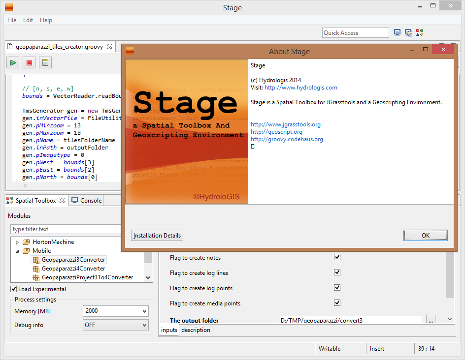
STAGE - Desktop Tools (also) for Geopaparazzi

With the new upcoming geopaparazzi 4 release a few issues had to be solved:
  1. What should I do with all my old geopaparazzi 3 surveys? How do I integrate them with new data?
  2. What do I use to export data from a geopaparazzi 4 project to my GIS environment?
Well, we solved both the above problems inside STAGE, a Spatial Toolbox And Geoscripting Ennvironment, which is the tool we develop and use for the JGrasstools library for environmental modelling.

For those asking if it is the same Spatial Toolbox that comes with uDig, the answer is yes and no. Yes, because it is the same source code. And no, because since uDig is in the process of (and a bit stuck in) migrating through the Locationtech incubation, we needed to step forward with the geotools versions. So see STAGE as the temporary solution to work with the Spatial Toolbox, until we can enhance the uDig version again.


So where do I get STAGE and how do I use it for Geopaparazzi? A video tutorial showing it all can be found here:


Enjoy!


ADDENDUM: since it has been asked, this is the link to the current download area of STAGE: http://git.io/stage_releases


Thursday, January 5, 2012

Geopaparazzi gets to know Mixare

It is now a long time I said I would have tried that. Finally I found the time to code that minipart that would make Geopaparazzi with one project that really interests me: Mixare.

I have always been interested in Augmented Reality. My thought is that on low cost devices it is something more entertaining than really useful for job/engineering/surveying purposes. But many times start as a joke and get great with the time, right?

Anyways, Mixare has a simple approach (actually more than one), which bases on the consuming of a json file with the info to show in the augmented world. After that one intent calls the app itself and takes care of the rest.

Quite easy, yes, kudos to the Mixare team (we live at about 30Km distance from each other, it was about time to try that out :) ).

So in the next release of geopaparazzi we will have one more feature, which the possibility to load the data currently visible in the map's viewport through the new "view in mixare" option (note the bookmarks stars):


Geopaparazzi does nothing more than formatting the point data available in the current viewport of the map and feed them to mixare:


The gps position from which this screen was taken is the white/blue dot in the lower right angle of the first image. Obviously the elevation of the thing is not precise, since the bookmarks are placed at a 0 level in geopaparazzi. But geonote have an elevation info and will be a bit better (even if by no means precise). And the direction if definitely ok to be used for low-precision purposes.

Anyways, nice it worked out of the box. Enjoy!

Tuesday, December 8, 2009

Arcmap dbf import to BeeGIS

Recently we did a 3 days uDig-JGrass-BeeGIS course for some very nice guys. When they saw BeeGIS, they were very intereted and one question that came to the surface by one guy owning a handheld with arcmap, was if it would be possible to import the arcpad file into the database of BeeGIS, in order to exploit it to synchronise pictures on the map.

Well, since they really where that nice, we created a small import tool for BeeGIS.
You should know that from arcpad you can export a point shapefile, which has a big attribute table with all the infos in it.
The below is an example:


To use it just follow the steps:

1) Go to File -> import and select "Import Arcpad..."


2) In the following tab insert the path to the dbf file exported from Arcpad


After pushing finish the dbf is imported into the database's internal gps log, which is also use for the photo sync.

In fact if we have a look into the database view, we can see that the imported data are there:


Guess that will make it into the next build.

Friday, July 3, 2009

bluetooth gps on linux - short howto

Once you paired the gps with your pc, scan for the device to gather the hardware address:

> hcitool scan

Scanning ...
00:0B:0D:6F:F9:C5 SJA GPS


Once the hardware address is found, you can use it to find the channel through which they chat:

> sdptool browse 00:0B:0D:6F:F9:C5

Browsing 00:0B:0D:6F:F9:C5 ...
Service Name: SPP slave
Service Description: Bluetooth SPP V1.01
Service RecHandle: 0x10000
Service Class ID List:
"Serial Port" (0x1101)
Protocol Descriptor List:
"L2CAP" (0x0100)
"RFCOMM" (0x0003)
Channel: 1
Language Base Attr List:
code_ISO639: 0x656e
encoding: 0x6a
base_offset: 0x100


In this case channel seems to be 1. Create a virtual serial port through which to bind the gps through its hardware address and channel to the device rfcomm0:

> rfcomm bind /dev/rfcomm0 00:0B:0D:6F:F9:C5 1

See if it works:

> cat /dev/rfcomm0

If everything went right, now you should see a stream of NMEA sentences coming along your console.

To be able to see it for example by java programs, you need to link it to a virtual port ttySxxxxx:

> sudo ln -s /dev/rfcomm0 /dev/ttyS0007