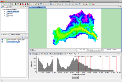
Finally I migrated the good old profile tool:

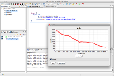
which obviously can also be used from console supplying coordinates:

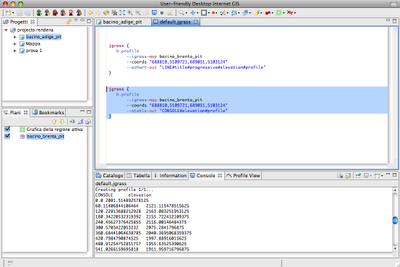
and if you just want the values of progressive and elevation, use a tablewriter (--otable) instead of the chartwriter (--ochart):

And obviously, for those who need to make a profile of an existing feature layer:
1) Select the feature that you want to have the profile from

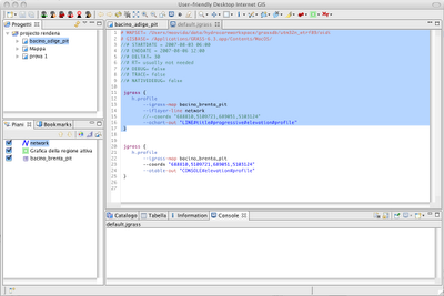
2) Go to the console view and instead of passing the --coords variable, just pass the featurelayer tag --iflayer-line:

The result is the following:

Seems to be ok.
No comments:
Post a Comment