For several reasons now I had to, so lucky the patient :)
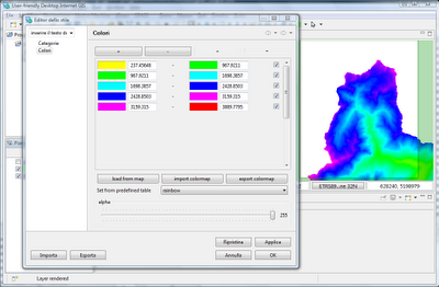
This is how it looks now (in the next build):
We have the usual load from map, but now there is a consistent import and export possibility for colortables in GRASS format.

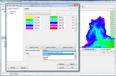
Also there is a combobox containing predefined colotables:

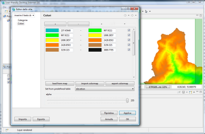
So if I choose the elevation colortable, I get:

When the colortable is chosen, the colorrules panel in the upper part updates itself, so it would be possible to modify that.
No comments:
Post a Comment