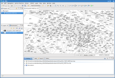
Note that the dwg files are badly supported, they cover < Acad2000 and I think not every case..
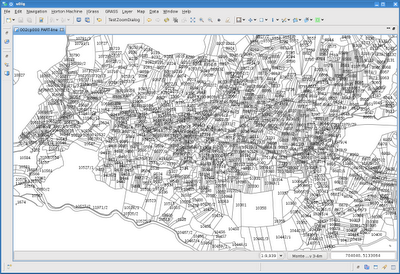
Cadastral files are one good example that here is delivered only in dxf format. Seems to work well finally:


And an example of dwg, where due to the complexity of the different dwg internal types, I preferred to create 3 shapefile for evey type of data and set the layer name as an attribute, so one can select-copy/export the features to other layers.

Much has still to be tested. If you want your files tested, please send them to me, I would be glad to fix problems if I am able.
2 comments:
Ciao Moovida,
the screenshots look great! How did you get the dxf import function into uDig?
Is there a special site which has to be included for uptates / plugins?
Thanks a lot and best regards,
Eva
Hi Eva,
I am in Sydney at FOSS4G right now and we are trying to find a good way to install JGrass and other plugins in uDig. The Dxf/dwg plugins are under GPL license and can't be released with JGrass as LGPL. So this will take a moment to be done. I will keep you updated.
Post a Comment