Finally a new one: the fieldbook.
When we designed and developed the geonotes for the Beegis extentions, the major problem was to be able to organise them properly, access them quickly and save them somehow. This is how the fieldbook came to life.
The field book wants to be an easy accessible collection of the geonotes we have created on our project.
So how does the fieldbook look like?
Here you are:

And what can you do with it?
Well, assuming a case in which we have the following notes:
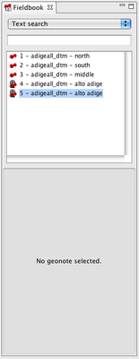
1) search by text in the title

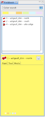
2) search by color
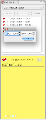
3) search by creation date
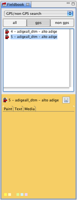
4) view gps taken notes
5) zoom to notes
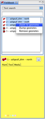
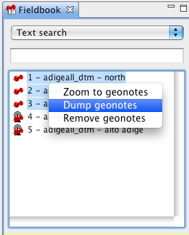
6) dump notes to disk, in which case a folder structure will be created with:
- an image of the paint tab
- a text file with the text tab content
- a folder with all the media present in the media tab
How does selection work?
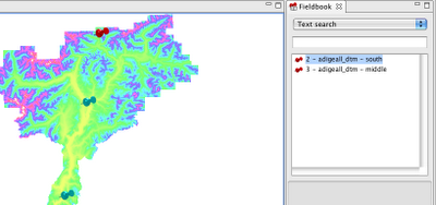
1) selection from the map with the geonotes selection tool
 If you select by box from the map, in the filedbook only the selected notes are visible in the list.
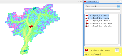
2) if instead you select from the fieldbook, the pins of the selected notes are highlighted (probably a yellow would be better for highlighted pins :)).
Well, that's all for now... just have to thank the ARPA Piemonte for founding this work and make it available for everyone, that is the way to behave!
1 comment:
my congratulations!!! :)
Post a Comment