Well, a little step was done now, which is a shapefile to osm exporter. As so often happens I didn't do anything great here, but I used to magnificent powers of open source and borrowed it from Ian Dees shp-to-osm project which luckily is written in java.
How to use it? It is wrapped together with dxf, dwg and kml import in the vector import/export plugin, which can be found here with installation instruction.
The rest is easy.
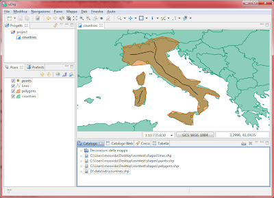
1) assume I have 3 layers of Points, MultiLines and MultiPolygons
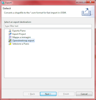
2) File -> export -> Openstreetmap export
3) Choose the shapefile, and output folder
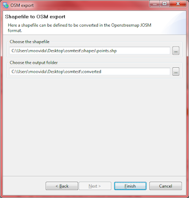
A bunch of osm files will be created in the output folder.
4) Open JOSM and import them
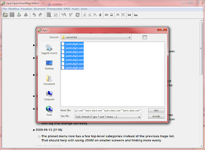
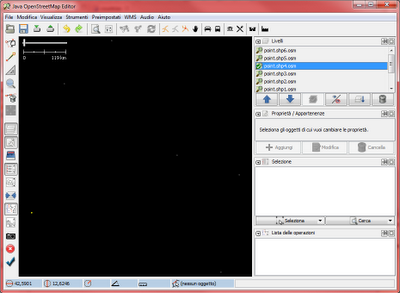
Since they are just points, you won't see that much, right?
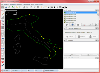
But if I do the same with the line and polygon layer and then import all the osm files created, it looks prettier:
Next will be do the export directly from feature layer, which could be backed by any datastore, shapefile, postgis or whatever.
No comments:
Post a Comment